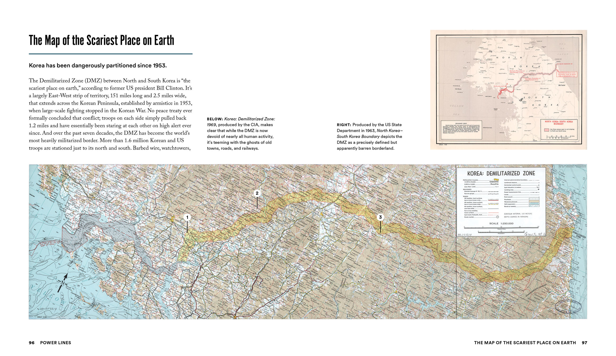
By clicking “Accept,” you agree to the use of cookies and similar technologies on your device as set forth in our Cookie Policy and our Privacy Policy. Please note that certain cookies are essential for this website to function properly and do not require user consent to be deployed.
Power Lines
Maps That Shaped the Way We See the World


Contributors
Formats and Prices
- On Sale
- May 12, 2026
- Page Count
- 296 pages
- Publisher
- Black Dog & Leventhal
- ISBN-13
- 9781579658779
Price
$35.00Price
$46.00 CADFormat
Format:
Hardcover $35.00 $46.00 CADBuy from Other Retailers:
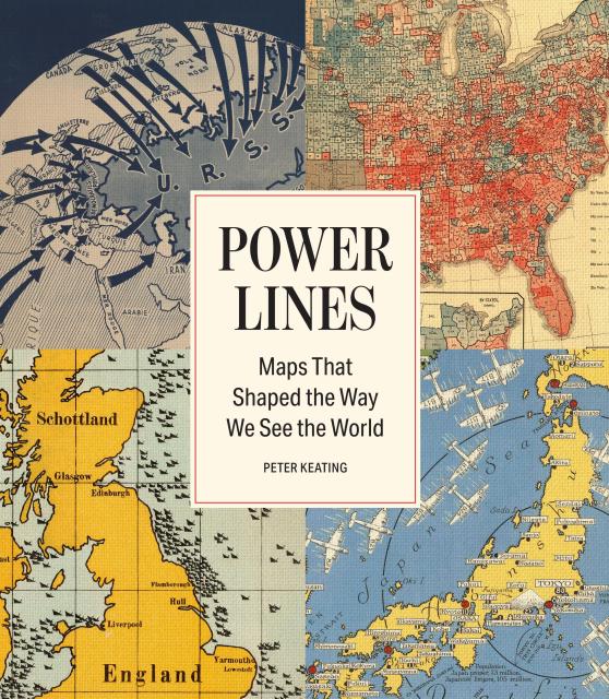
A collection of the greatest political maps in history and how these images have an unmatched power to influence our thinking—and our world.
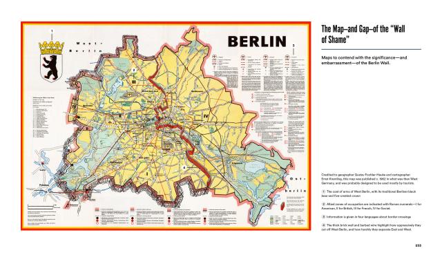
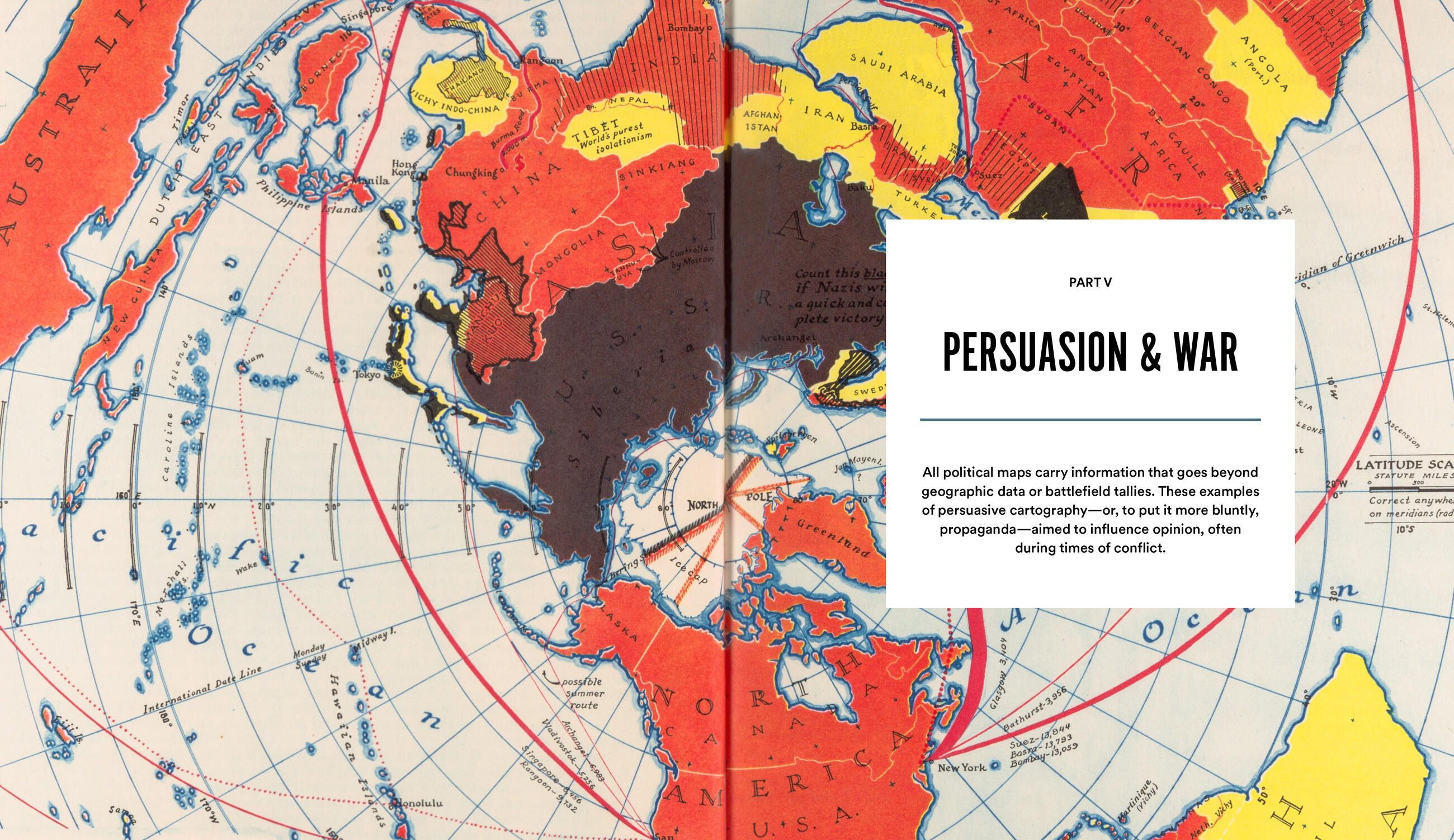
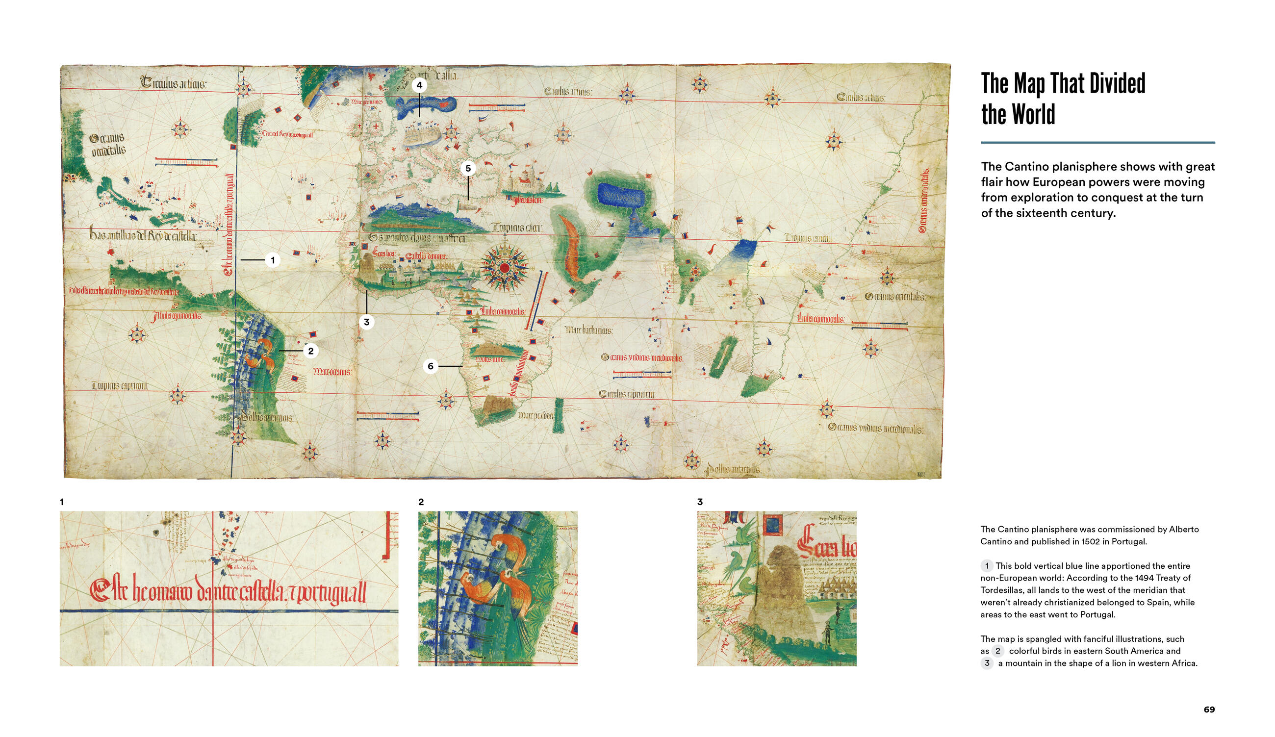
In this book, award-winning journalist Peter Keating has assembled dozens of the most significant maps in history. There is the map featuring the Treaty of Tordesillas meridian, which Spain and Portugal used to divide the whole of the Western Hemisphere in 1494. The map deployed by Western leaders at the 1884 Berlin Conference to carve up Africa. A map of Adolf Hitler’s speaking engagements in 1933 that looks like a rock concert tour poster. Maps of gerrymandering. Of redlining. Of military targets and of peace treaties. The map of the world—distortions and all—that hangs on thousands of classroom walls. And the polarizing red-and-blue election results maps that Americans are confronted with every two years. In striking images and riveting stories that span continents and centuries, Keating makes a compelling case for why, in the age of the internet, the power of maps—to define borders, to influence social policy, to enact political change—is unmatched, and is as potent as ever before.